EDMERO conducts four-day basic GIS training for CamSur LGUs
Mar 10, 2025 Mary Fe De Vergara
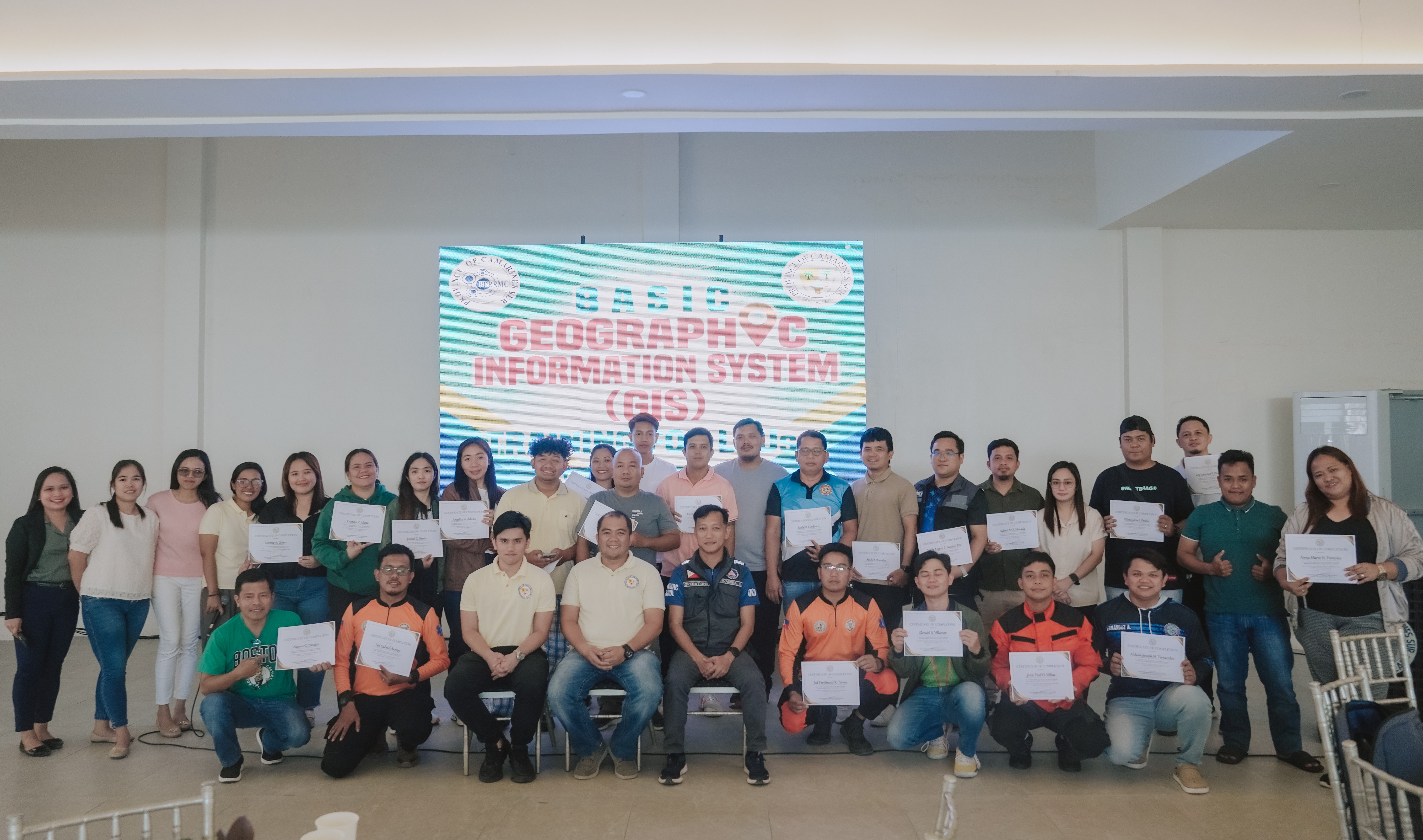
The Provincial Government of Camarines Sur, through its Environment, Disaster Management, and Emergency Response Office (EDMERO) conducted a four-day Basic Geographic Information System (GIS) Training for Local Government Units of the province on March 10-13, 2025 at the Capitol Complex, Cadlan, Pili.
Representative-participants of the twenty-six local government units of CamSur have completed the six (6) modules facilitated by expert resource speakers from the Department of National Defense of the Office of the Civil Defense Region V, and meteorologist and field geologist of EDMERO.
Angelica Adulta, one of the trainees from LGU Del Gallego, expressed her gratitude to the said training. “Very grateful po talaga ako sa opportunity and the learnings. Malaking bagay po talaga na maka-attend ako dito. Marami akong natutunan at may nadagdag sa kaalaman ko. Sobrang dami kong madadala sa municipality ko.”
Having limited cartographers, this training equips LGUs to create maps for disaster response using GIS technology, enabling quicker and more effective actions during disasters. Furthermore, this training will also help them in planning urban development projects, promoting economic development, and effectively managing the environment, education, health, and infrastructure sectors in their respective local governments.
Training Instructor Efren Binamira Jr. from the OCD V encouraged the participants to continue learning the use of GIS. He likewise emphasized that the knowledge gained from the training should not stop within the confines of the room, but must be adapted effectively to make a tangible impact in their respective communities.
The combination of hands-on exercises, group work, and real-world applications ensured that the participants were well-equipped to utilize GIS. One way to represent information is through mapping and this will better improve people’s understanding about the current happenings during a disaster. They can make use of it especially during disasters where information is crucial in their operation.
Other News
SCHOOL ASSISTANCE PROGRAM at Mambayawas High Schoo...
Apr 04, 2025SCHOOL ASSISTANCE PROGRAM at La Purisima National...
Apr 04, 2025SCHOOL ASSISTANCE PROGRAM at Hoyunhuyon High Schoo...
Apr 04, 2025SCHOOL ASSISTANCE PROGRAM at San Juan National Hig...
Apr 04, 2025SCHOOL ASSISTANCE PROGRAM at Nabua National High S...
Apr 04, 2025